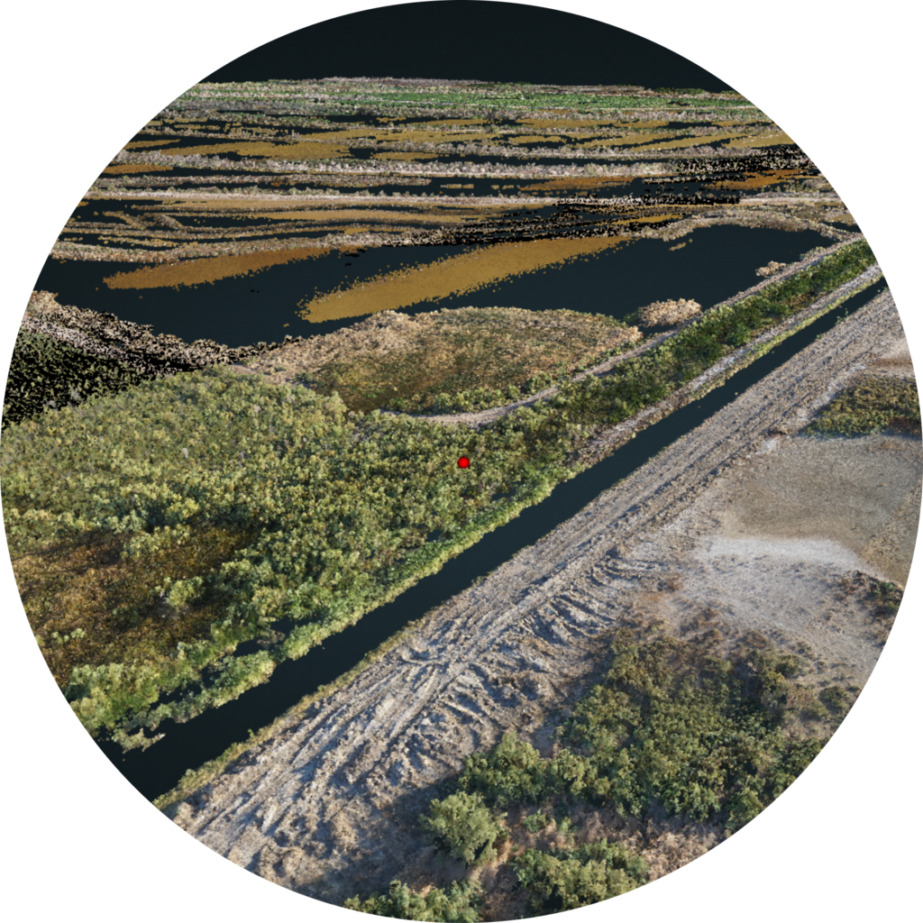
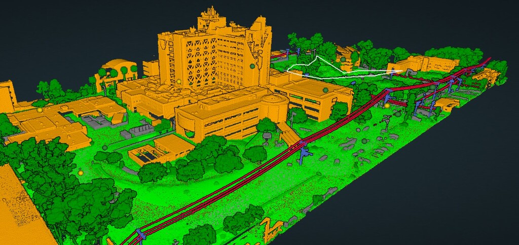
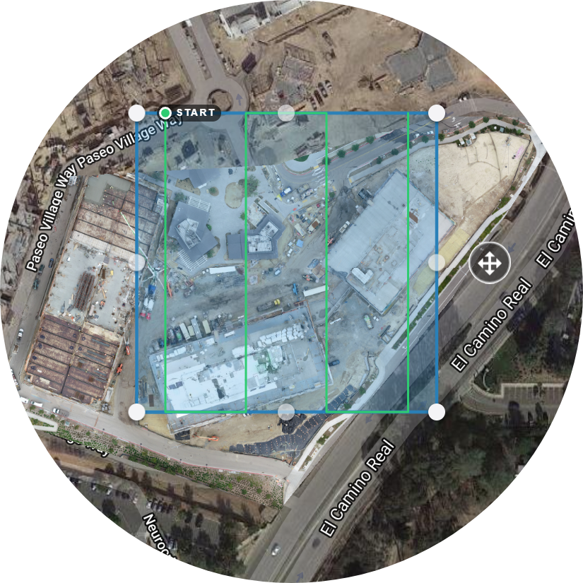
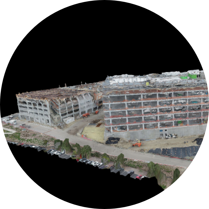
Whether LiDAR or photo based, the cameras on our drones provide rich data over large areas. As a result, the collected data can be turned into high-definition maps and models.
Drone mapping has proved to be a valuable tool in collecting information about problem areas on high roofs, solar panels, wind turbines, or other structures. They can be used to determine the health of crops and vegetation, overviews of property for legal reasons, or progress reports on construction sites. For more information on aerial mapping and modeling, please contact us.