LiDAR Mapping with high accuracy
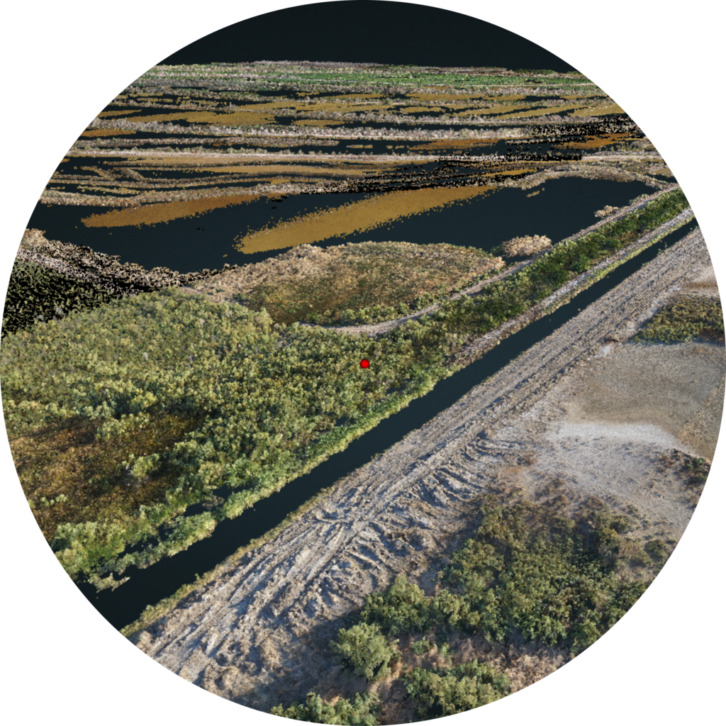
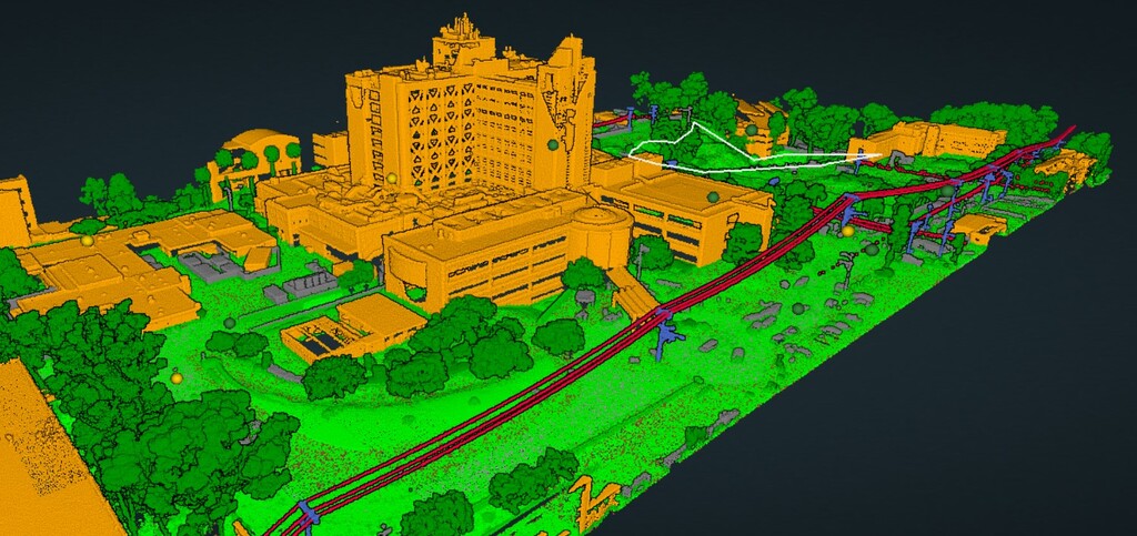
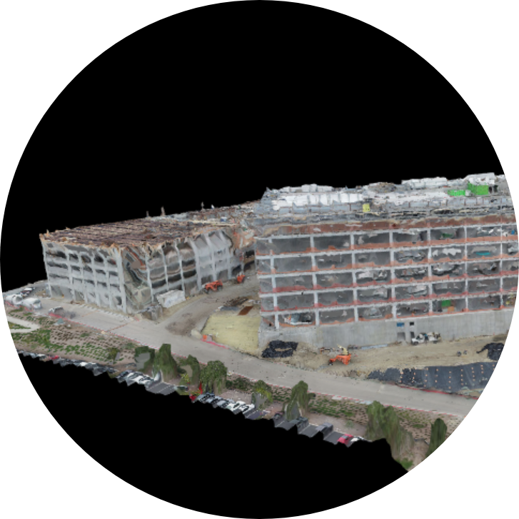
Lidar is a technology that produces a topographical map that is more accurate than traditional photogrammetry. The laser technology creates elevation data in high resolution and a detailed 3D model.
Our R2A camera from Rock Robotics and RTK Reach Basestation can produce a map rated for up to 5 cm accuracy. When paired with Ground Control Points (GCPs), we can create a professional, survey-level map with an absolute accuracy down to 1 cm (0.4 in) RMS horizontal and 3 cm (1.6 in) RMS vertical.
Our map delivers not only elevation/height information, but also texture, shape, and color. Click here to request a quote or more information!


